Case Study

Integration of NEON data for Ground Validation of NASA SMAP

Connect with an expert opens in a new page

Challenge

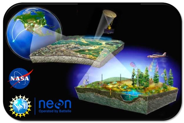
Soil moisture measurements are critical to monitor for drought by showing early warning signs, assist in crop productivity through targeting of humanitarian food assistance, and flood prediction through improved flood warnings. Accurate soil moisture research requires integration of both satellite measurements and long-term in-situ observations.  In situ sensors provide accurate measurements of soil moisture but relatively limited spatial coverage, while satellite-based soil moisture measurements provide excellent spatial coverage, but require validation using in-situ sensors and usually penetrate only the top few cm of the soil surface.  NASA’s Soil Moisture Active Passive (SMAP) satellite mission uses in situ soil moisture observations for ground validation (GV) however there are still ecosystems that are substantially underrepresented (e.g., forests, which are represented by just 5 sparse network sites).

Photo: Ecosystems being studied by NEON and Nasa's technologies.

The Solution

Integrating NEON into SMAP’s GV program allows for longstanding ground observations from different environments that are typically operational with very low latency. NEON’s data are also needed to improve the physical formulation of SMAP’s radiometer algorithm and thus serve a dual role in satellite ground validation efforts. This will allow NASA to better quantify some of the uncertainties associated with precipitation measurements, particularly over large time scales and with continuous observation periods by linking weather data with groundwater level. 
Let us help you solve your biggest environmental challenges.
Connect with an expert opens in a new page

The Outcome

Integration and harmonization of these data products will help us to understand and predict how our planet functions and evolves, and allow us to pursue new ways of living, doing business, growing our economies, providing food security, and escaping poverty. Techniques developed will calibrate, verify, and improve performance of the NEON and NASA science algorithms, make an impact on the base of knowledge, theory, and research and/or pedagogical methods principally in aquatic data as well as advance our physical understanding of precipitation processes and assure consistency in soil respiration and soil moisture data. These GV efforts will increase collaboration among NEON and NASA staff scientists to build a larger cohort of those working on large-scale, ‘big-data’ interoperability, harmonize data, data products, data accessibility, and joint user communities.
The National Ecological Observatory Network (NEON) enables the exploration and understanding of the ways in which land, life, water and climate interact.
Explore NEON opens in a new page

Case Studies

Technology Commercialization and Licensing


With over 90 years of research and development experience, Battelle supports all areas of industry with intellectual property licensing focused on bringing our cross-disciplinary expertise to meet our clients' most difficult challenges.

Explore our ip

Photo: Abstract photo of a lightbulb